On the kitchen wall opposite the stove, my grandparents kept a photograph of their farm, taken from the air. The story goes that a business-minded amateur pilot went door to door in 1970s rural Monaghan, selling large-format personalised aerial photography to locals who relished this new perspective on their working lives.
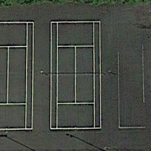
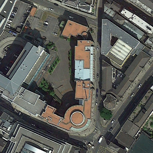
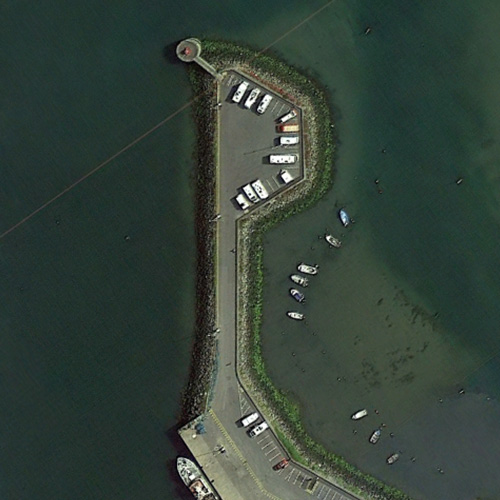
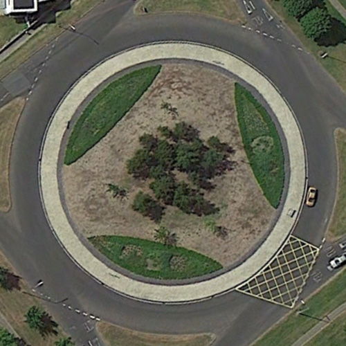
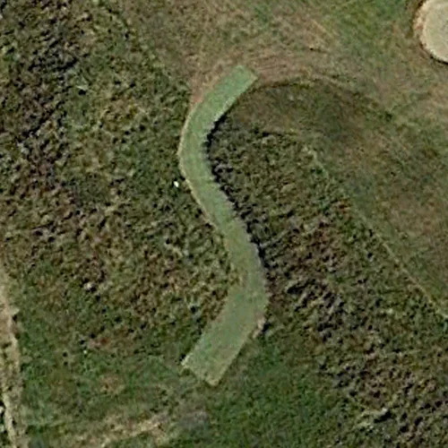
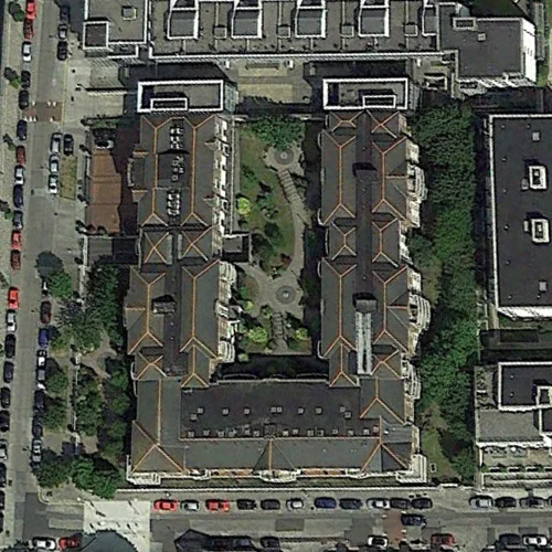
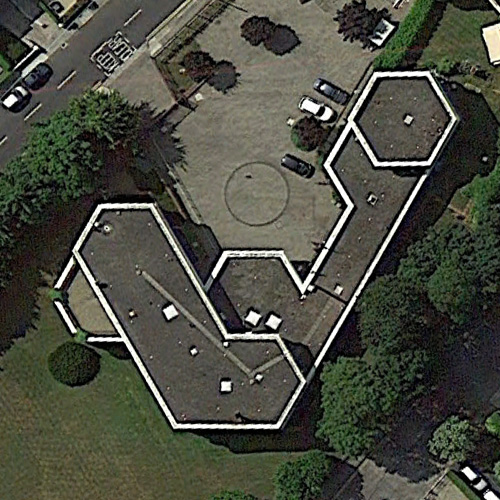
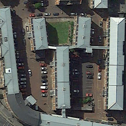
Since then that top-down view has become vastly easier to access. So easy, in fact, that you could, if you were so inclined, spend 10 minutes of your lunchtime every day on Google Maps, hunting for letter shapes all over Dublin. Or you could let me do it instead. Inspired by Rhett Dashwood's original Google Maps Typography and the Aerial Bold project, I wanted to make a Dublin-flavoured topographical alphabet. So here they are, all 26 of them, presented in useful alphabetical order. You can click each letter to see it in situ on Google Maps, or suggest new letter coordinates in the comments below (that R is a particularly wonky).


